
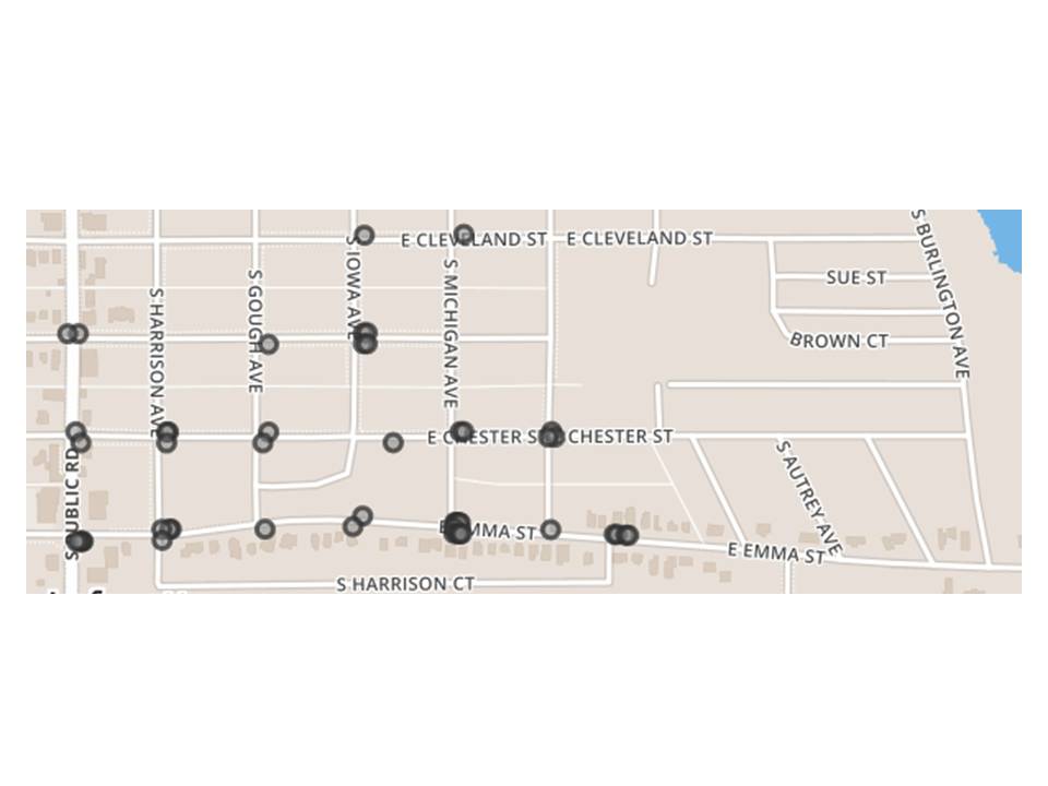
Screen shot of interactive map of Lafayette
Title
Screen shot of interactive map of Lafayette
1955
Reference
BCLHP-MKM-784
Collection
Citation
“Screen shot of interactive map of Lafayette,” Boulder County Latino History Project, accessed July 28, 2026, https://latinohistoryproject.org/boulder/items/show/3159.